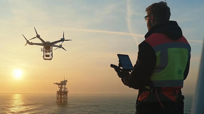
Drone and Satellite Derived Bathymetry
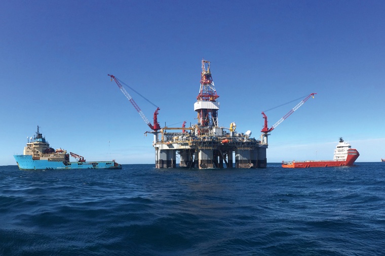
Geostar Surveys offers advanced drone and satellite-derived bathymetry services, providing efficient and precise data collection for coastal and offshore projects. The company has successfully executed these services across diverse regions, supporting applications such as seabed mapping, coastal engineering, and environmental monitoring.
Geostar Surveys offers advanced drone and satellite-derived bathymetry services, providing efficient and precise data collection for coastal and offshore projects.
The company has successfully executed these services across diverse regions, supporting applications such as seabed mapping, coastal engineering, and environmental monitoring.
Drone and satellite-derived bathymetry services involve the use of cutting-edge imaging and sensing technologies to capture high-resolution data. Geostar’s expertise ensures that these technologies are deployed effectively, delivering accurate and reliable results. These services enhance operational efficiency and reduce risks associated with traditional bathymetric methods.
Geostar’s team of experts employs advanced data processing techniques to ensure that the collected data is accurate and reliable. The company’s focus on customization ensures that each project benefits from tailored solutions, meeting specific client requirements. This commitment to precision and efficiency has made Geostar a leader in drone and satellite-derived bathymetry services.
By adopting the latest technologies and methodologies, Geostar ensures that its drone and satellite-derived bathymetry services remain at the forefront of the industry. The company’s dedication to innovation and client satisfaction drives its success in this specialized domain.